

The effects of last winter’s historic snow drought were easy to see—and feel—during my recent road trip through Colorado.
I set out on a four-day journey to bike, hike, and take photos in one small corner of the Rockies. Along the way, I found reminders that a meager snowpack can bequeath a troubling summer legacy for the region’s water, land, and air.
For weeks, my asthmatic lungs had struggled with wildfire smoke near Durango as major blazes burned in Colorado and Utah. It seemed like the snow drought was casting a pall over my summer.
Rather than sit at home beside the air purifier, I decided to climb my 31st “fourteener,” the nickname for Colorado mountains rising above 14,000 feet. On this trip, I set my sights on San Luis Peak, a long yet technically simple ascent in the La Garita Wilderness, about 40 miles south of Gunnison. It’s among Colorado’s most remote and lightly traveled fourteeners.
The forecast was bone dry, with no threat of the thunderstorms that can quickly scuttle a climb. But for days beforehand, I worried about the smoke and compulsively checked maps of the projected plumes on OpenSnow, the same app I consult in winter to divine the forecast for flakes.
It’s hard to attribute any single fire directly to the snow drought—disastrous blazes can also follow normal winters—but it’s been a busy wildfire season, as forecasters had warned.
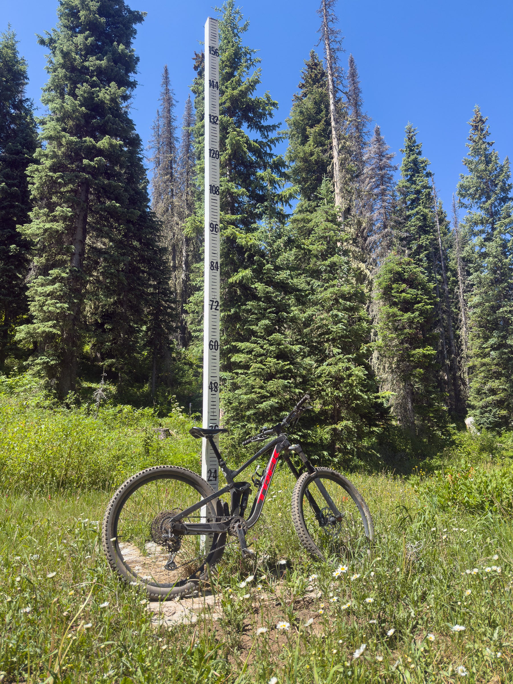
Accepting that I might have to shelter at my campsite wearing an N95 mask, I hit the road. The first stop was Purgatory, my home mountain, for some chairlift-assisted downhill biking, an activity I adore almost as much as skiing. Mountain biking also offers ski resorts a source of summer revenue as climate change increasingly threatens their core winter business.
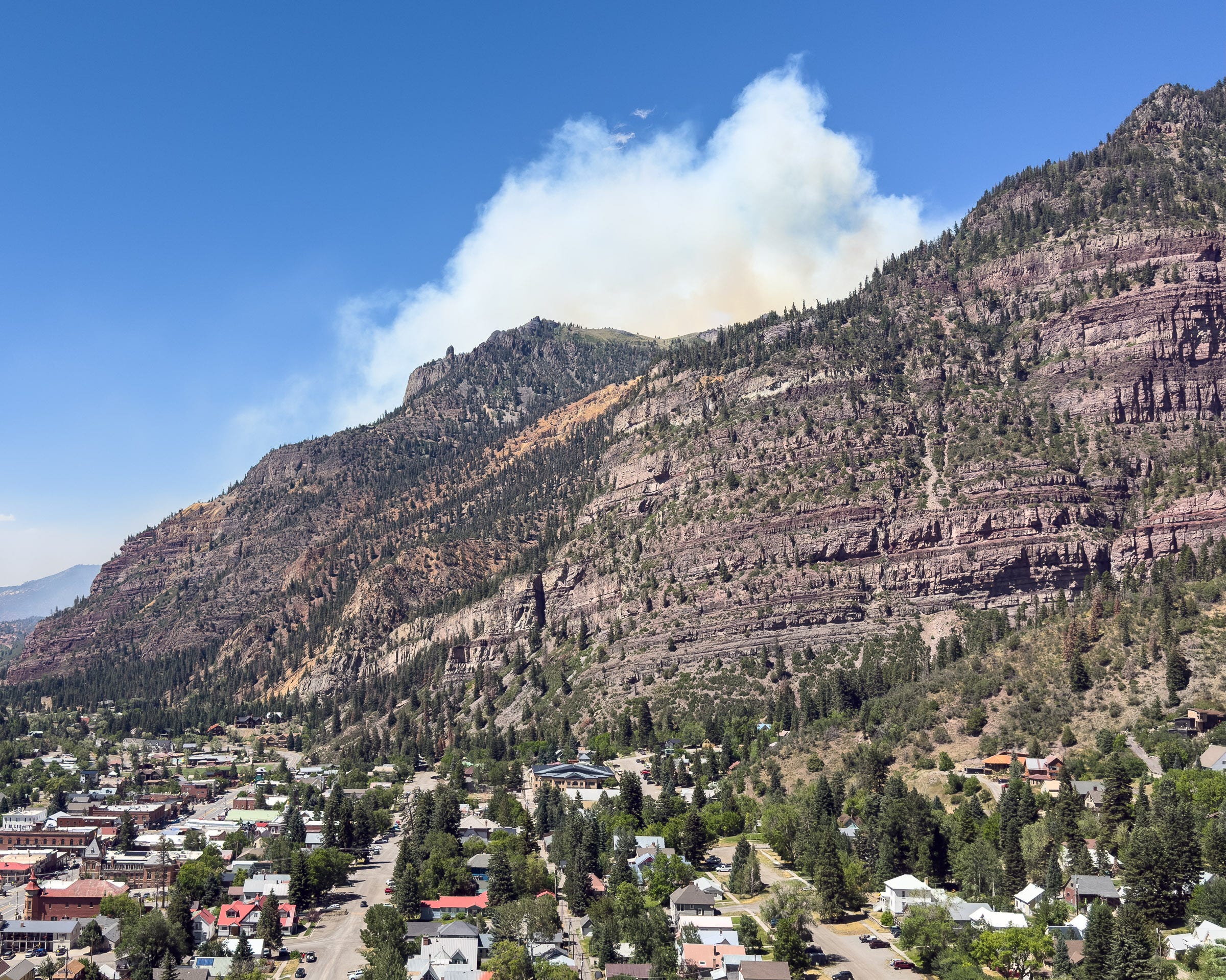
Leaving Purgatory, I faced a conundrum. The Colorado Department of Transportation reported that a section of U.S. 550 was closed due to a wildfire around Ouray, which was news to me. It looked like a detour through backstreets was possible, so I drove north. But as I crested Molas Pass, the plume rising ahead made my heart sink. The fire had started less than 24 hours earlier. On yet another windy day in southwest Colorado, the Gold Mountain Fire was off to the races.
I made it through the detour, but near the fire I could smell the smoke inside my vehicle, even with the windows closed. I looked for vantage points to take photos, recalling my days covering wildfires as a newspaper reporter at the Arizona Daily Star in Tucson.
In 2002, several colleagues and I completed wildland-firefighter training with the Coronado National Forest so we could embed with fire crews. The experience instilled an enduring fascination with wildfires and the quasi-military campaigns mounted to suppress them. But it’s been depressing to watch wildfire threats intensify over the past quarter-century because of climate change, the consequences of more than a century of fire suppression, and the increasing number of homes in fire-prone landscapes.
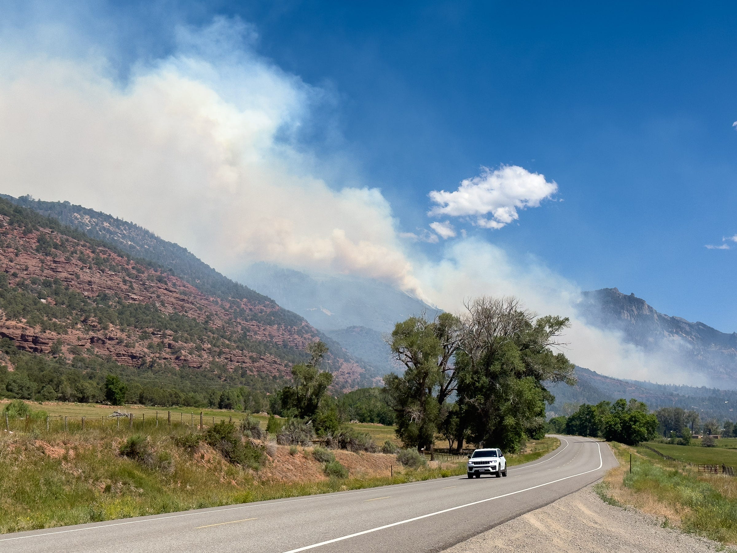
When I stopped in Montrose, monitoring stations on the PurpleAir map were glowing orange and red due to smoke from the Ferris Fire, another blaze in southwest Colorado. The fine particulates made my chest tighten, my head ache, and my eyes sting. Smoke hung over mile after mile of U.S. 50 as I drove east toward Gunnison, where the air was no better when I made another pit stop before heading to a campsite—location still TBD.
Thankfully, I escaped the plume as I ventured south on lonely dirt roads that were surprisingly smooth for Colorado. I found a choice spot to camp just a quarter-mile from the trailhead.
Sadly, but not surprisingly, hillsides near the trailhead were crowded with dead spruce trees, casualties of a major beetle outbreak that swept through the La Garita Mountains many years ago. Although spruce beetles are native, warmer and drier conditions can increase tree stress and contribute to outbreaks, according to the U.S. Forest Service.
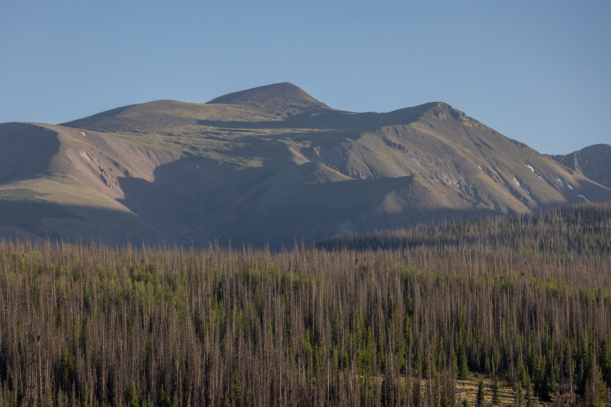
I took a rest day to prepare for the 14-mile round-trip climb and hoped the winds would abate. Earlier forecasts had called for gusts above 50 mph near the summit. Shortly after dawn the next morning, it was already breezy at my campsite, which didn’t bode well, but I was thrilled to see blue sky rather than a hazy white.
The first three miles climbed gently along Stewart Creek and a ghost forest of thousands of dead spruce, then through thickets of willows that eventually opened to reveal the ridge I’d be tackling. On a few prior fourteeners, I had to navigate snowfields. That definitely wasn’t an issue this year.
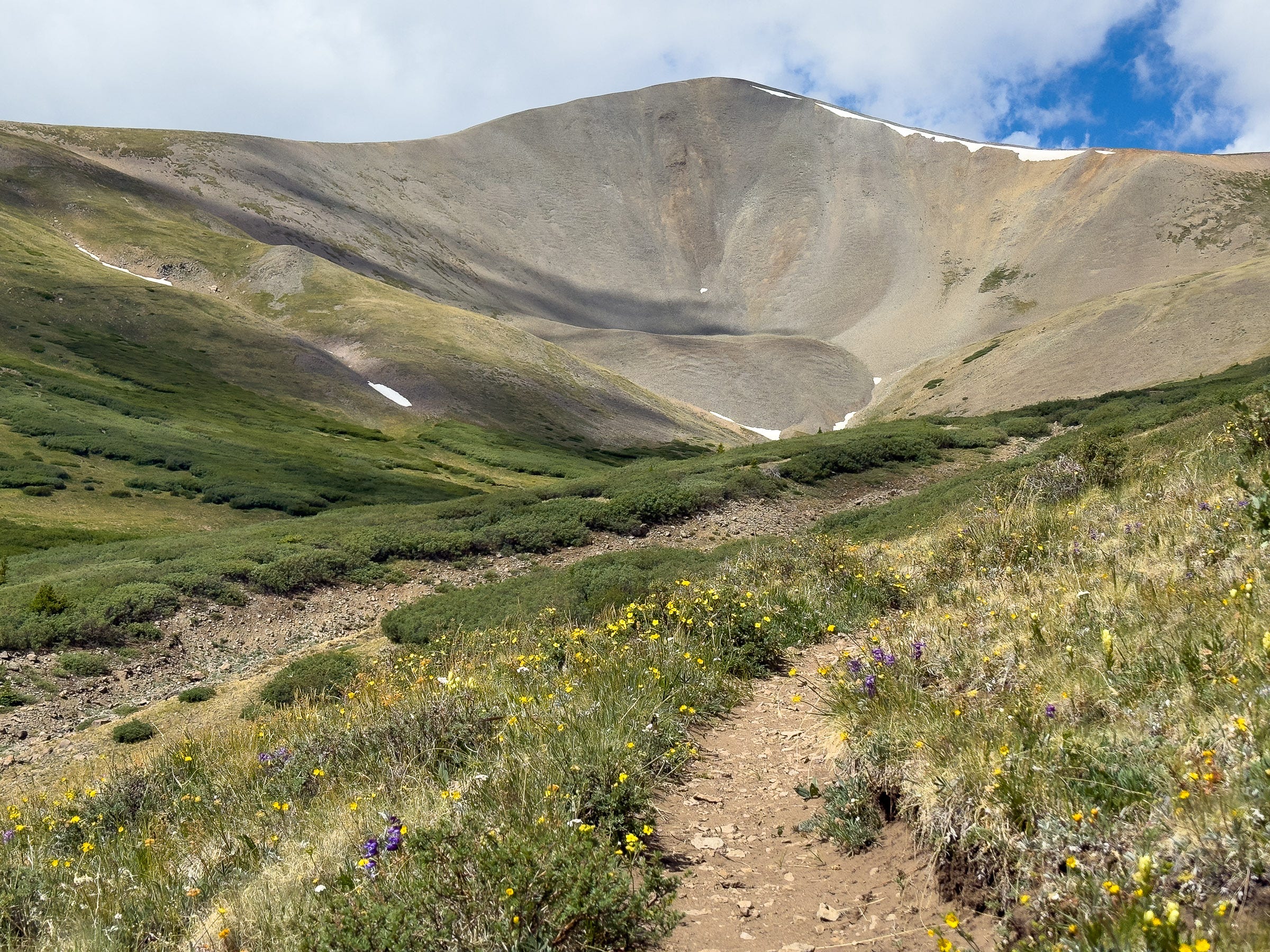
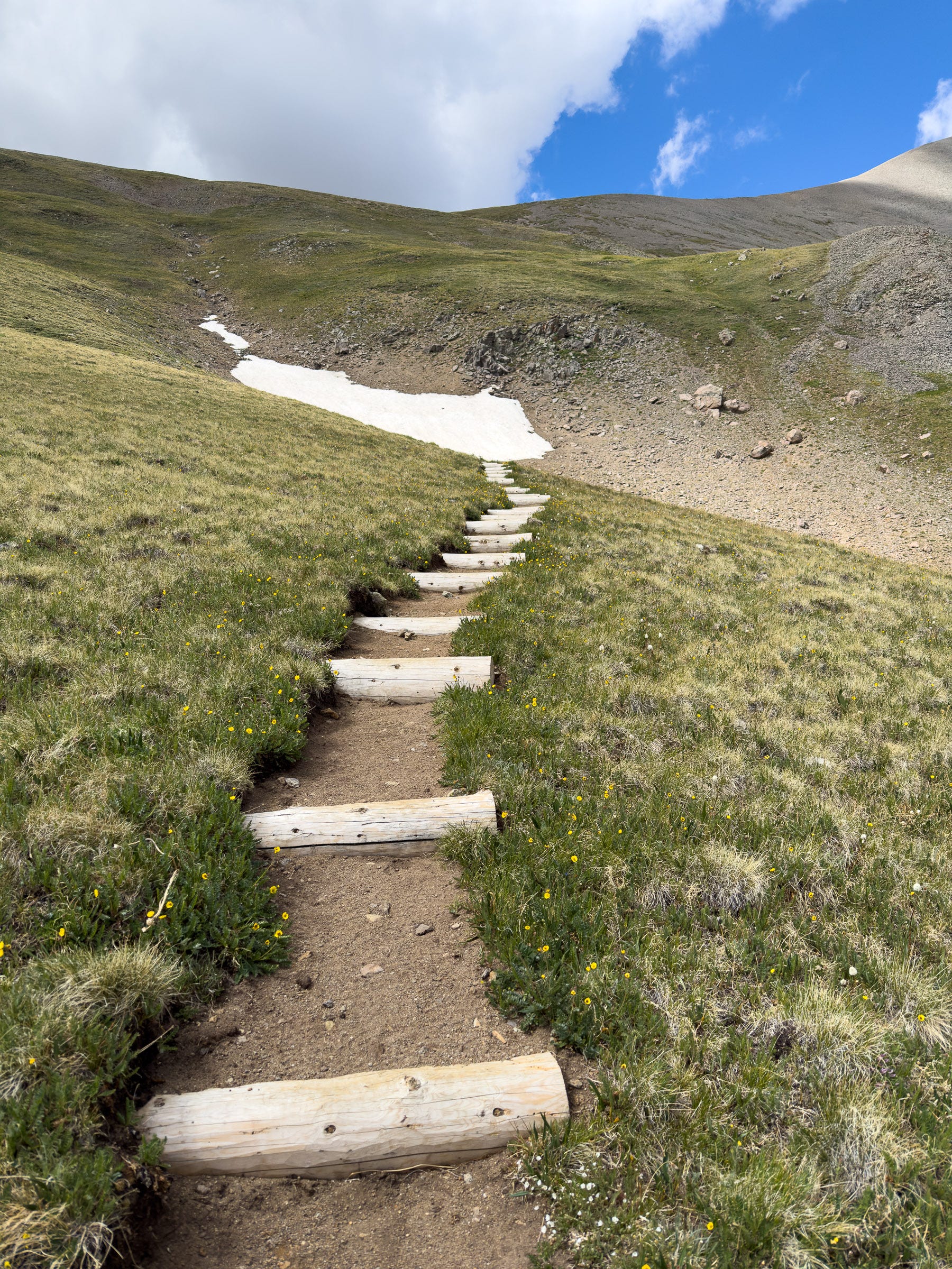
Once I emerged onto the open tundra, the wind was howling. It was intimidating to look up and see clouds racing past the ridgeline I’d soon be gaining. I pulled on my gloves, balaclava, ski goggles, warm hat, puffy jacket, and windbreaker, dressing for winter in early summer.
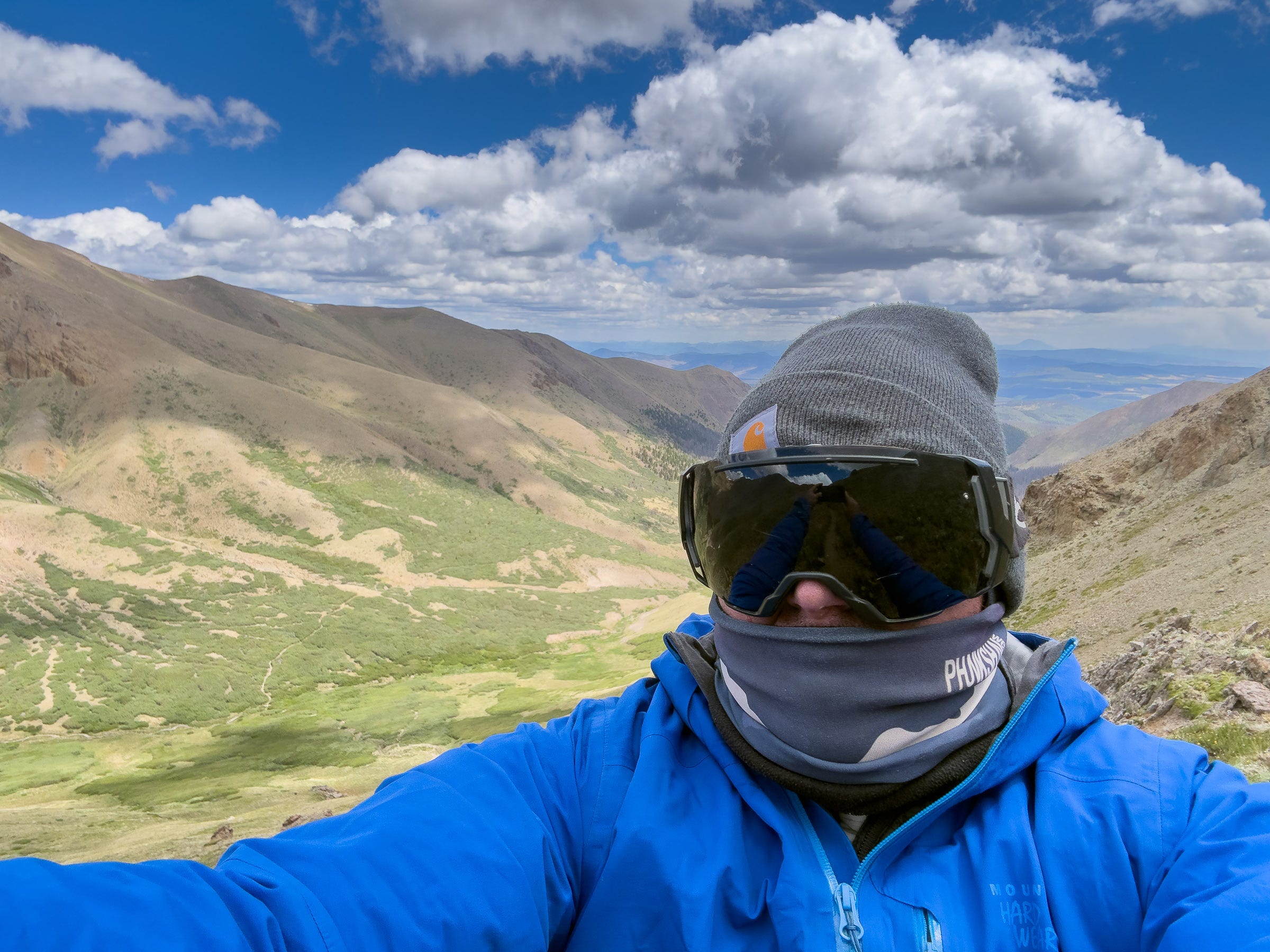
I always start to feel the lack of oxygen above 12,000 feet. As the air thinned, my body and mind slowed to a crawl. I counted my breaths in a moving meditation, reaching 100 before taking a break, then 50, 25, and finally just 10 until I needed to pause.
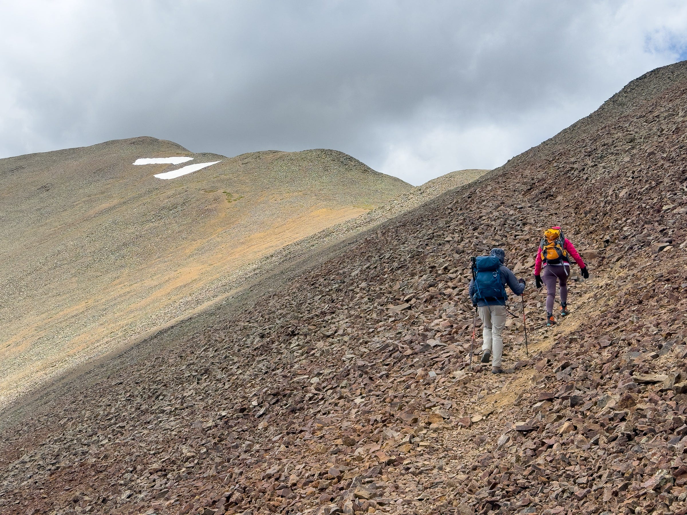
On many Colorado fourteeners, the very top is the crux of the route, and it’s frequently a tricky jumble of talus, scree, and boulders. In this volcanic corner of the Rockies, however, San Luis Peak has a broad, relatively mellow profile. The trail remained solid all the way to the summit, with little exposure or rockfall risk.
Hauling my 55-year-old body—and beer belly—up a fourteener inevitably involves suffering. But the sweet satisfaction upon reaching the summit keeps me coming back for more. Strangely, the wind was light atop the mountain.
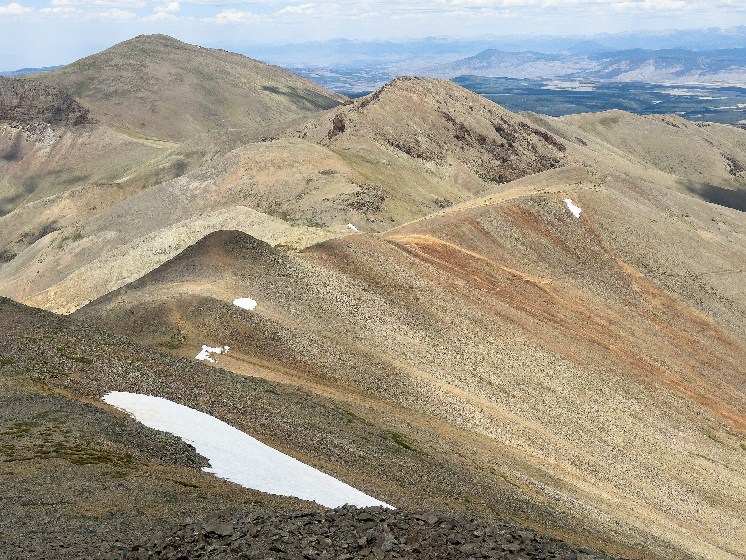
From the summit of San Luis, I could see peaks roughly 100 miles away. The plumes from the Gold Mountain Fire and other blazes were visible. So were a couple of seldom-traveled dirt roads in valleys. But humanity’s imprint on the landscape appeared slight, even though I knew otherwise.
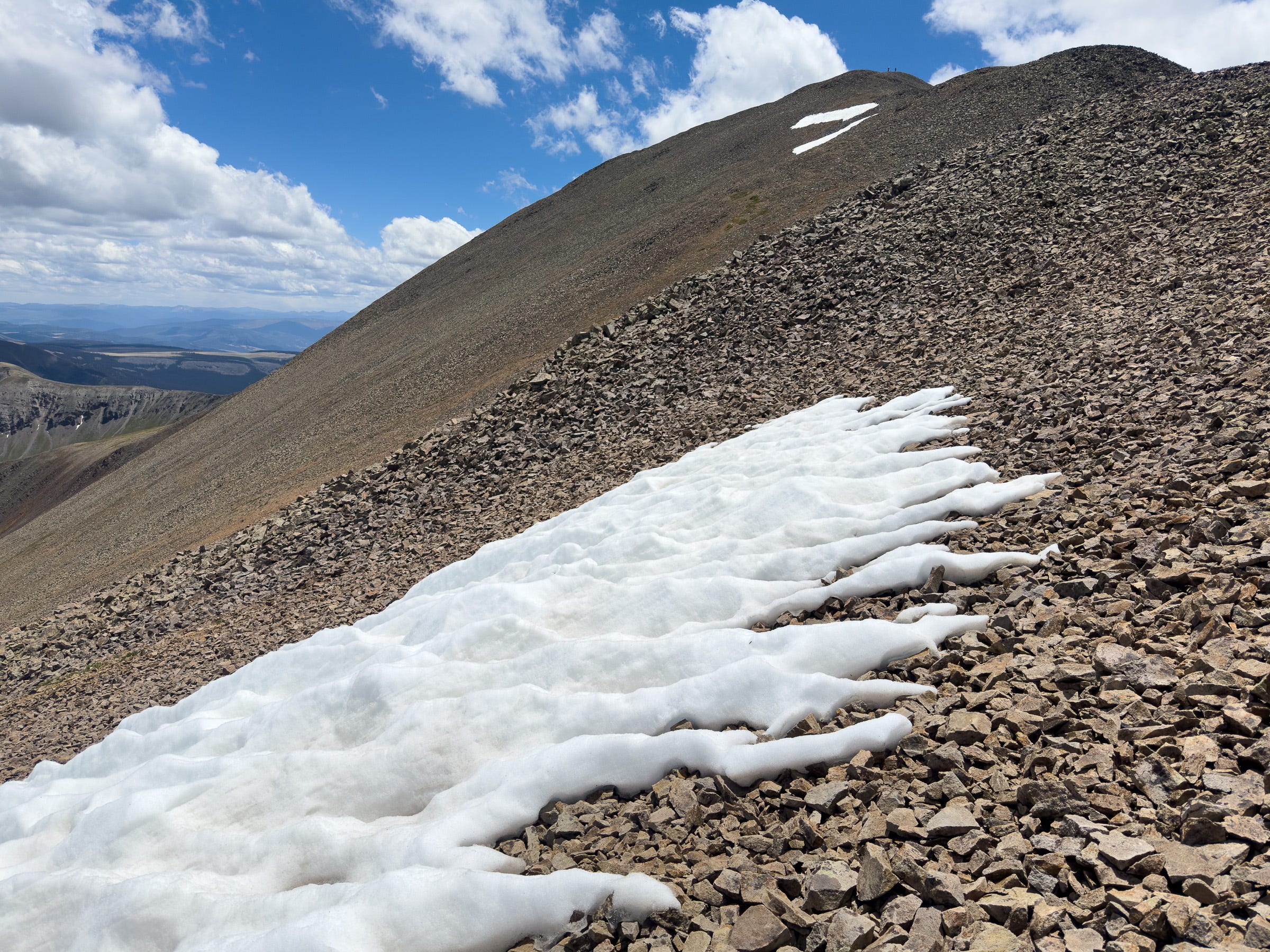
At the summit, I was struck by the near-total absence of snow across such a vast expanse of Colorado’s high country. It was the last day of June, so I wasn’t expecting a winter wonderland, but I’d climbed other fourteeners around this date and seen much more white.
The next morning, on the drive toward home, I was treated to some wildlife watching and wondered how the snow drought was affecting the animals I saw.
At Cochetopa State Wildlife Area, I was excited to spot several pronghorn, the fastest land mammals in the Americas. Their remarkable speed is thought to have evolved in response to now-extinct Ice Age predators, including the American cheetah (Miracinonyx).
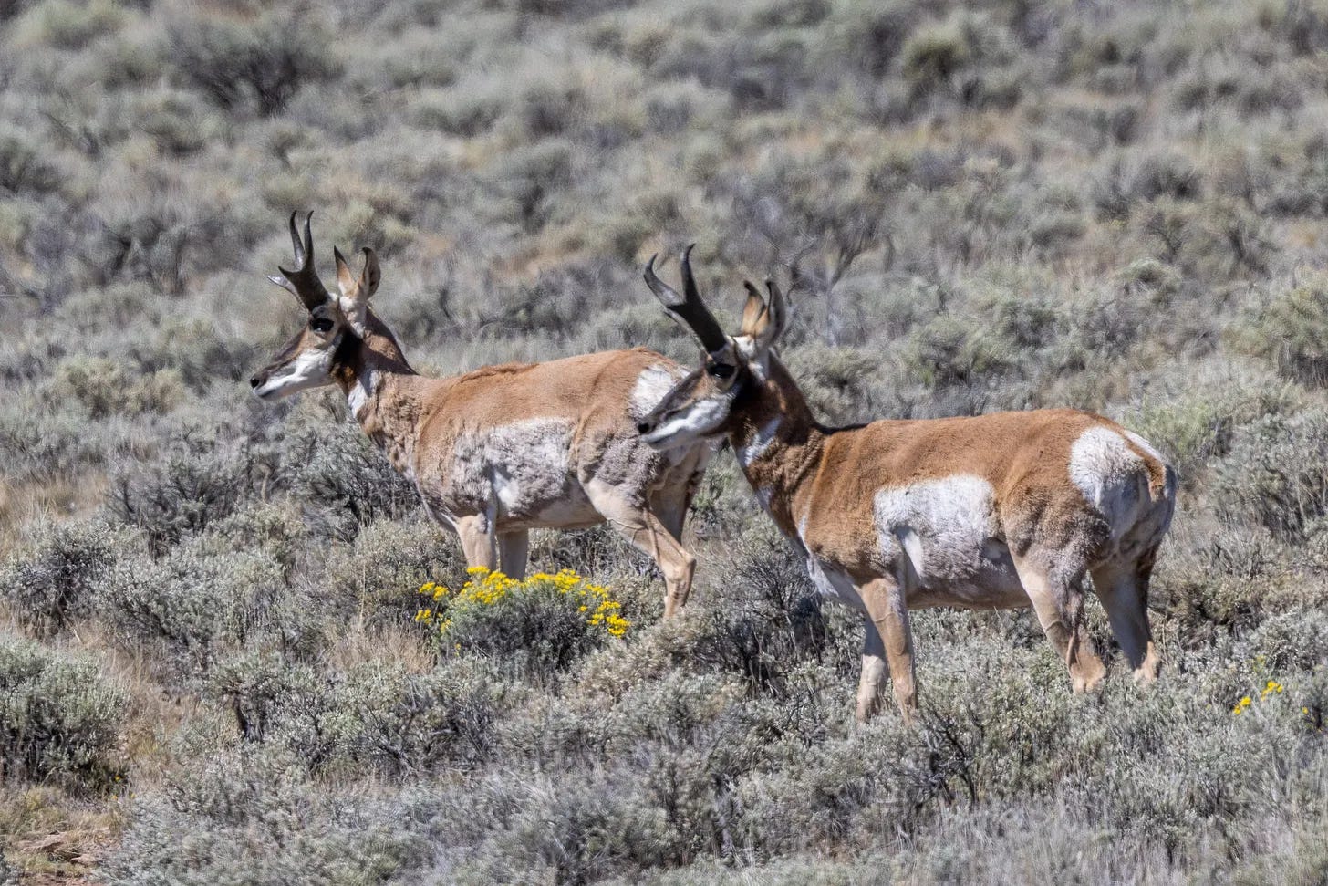
In my 2010 book, Endangered, I wrote about the Sonoran subspecies of pronghorn, which somehow ekes out a living in the desert along the Arizona-Mexico border. During the Southwest’s epic 2002 drought—a period many have compared with this year’s parched winter—the U.S. population dwindled to just 21 animals. Colorado’s pronghorn are numerous enough to be legally hunted, but they’re poor jumpers compared to deer, so ordinary barbed-wire fences can seriously fragment their habitat.
My sense is that a meager snowpack can be a mixed blessing for ungulates (hoofed mammals). Less snow cover can expose more forage during winter and improve survival rates, but later in the year, dry conditions can diminish food supplies and increase wildfire activity.
At nearby Dome Lakes State Wildlife Area, I was startled to see a large flock of American white pelicans gathered at a small reservoir along Archuleta Creek that was running low on water. I associate pelicans with the shore, but in warmer months, they can also be found in the Rockies at nearly two miles above sea level, surrounded by sagebrush.
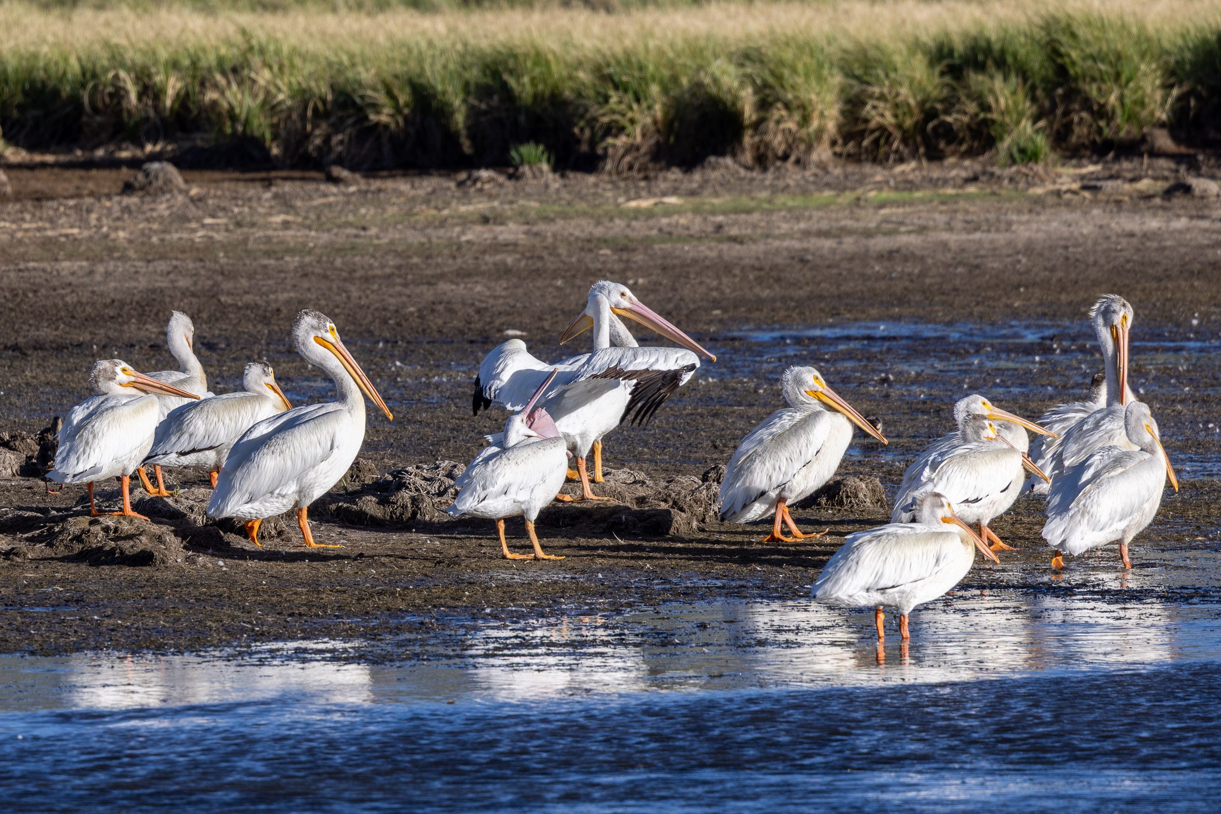
Pelicans are highly mobile, so they could presumably leave if Dome Lakes dried up—but many other water bodies in the region had also shriveled. Perhaps the low-water conditions were concentrating the fish they were eating and temporarily making life easier? I had more questions than answers, and I didn’t want to automatically assume the worst. But the scene got me thinking about all the other species that depend, at least in part, on the snowpack and its runoff. Pelicans had not been on my bingo card.
By the time I reached Gunnison, the wildfire smoke was back, creating a fittingly grim backdrop as I drove west beside a shrunken Blue Mesa Reservoir, the largest lake located entirely within Colorado. Situated along the Gunnison River, Blue Mesa is part of the Colorado River Storage Project—a massive federal system built in the 20th century to store and regulate the waters of the Upper Colorado River Basin. Glen Canyon, Flaming Gorge, and Navajo dams are some other elements of the project.
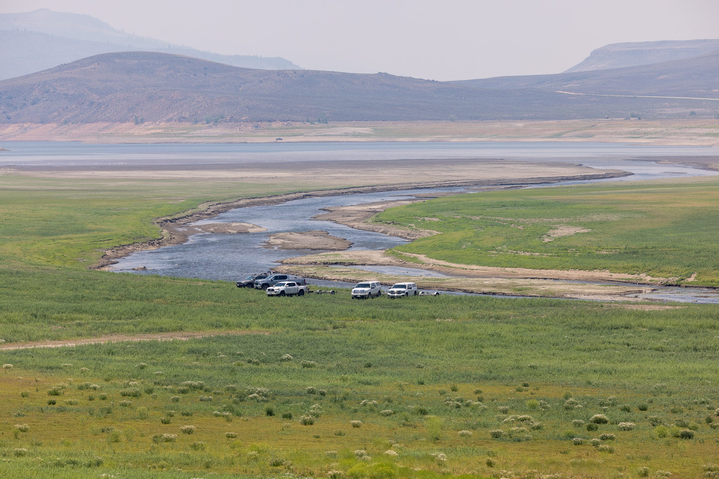
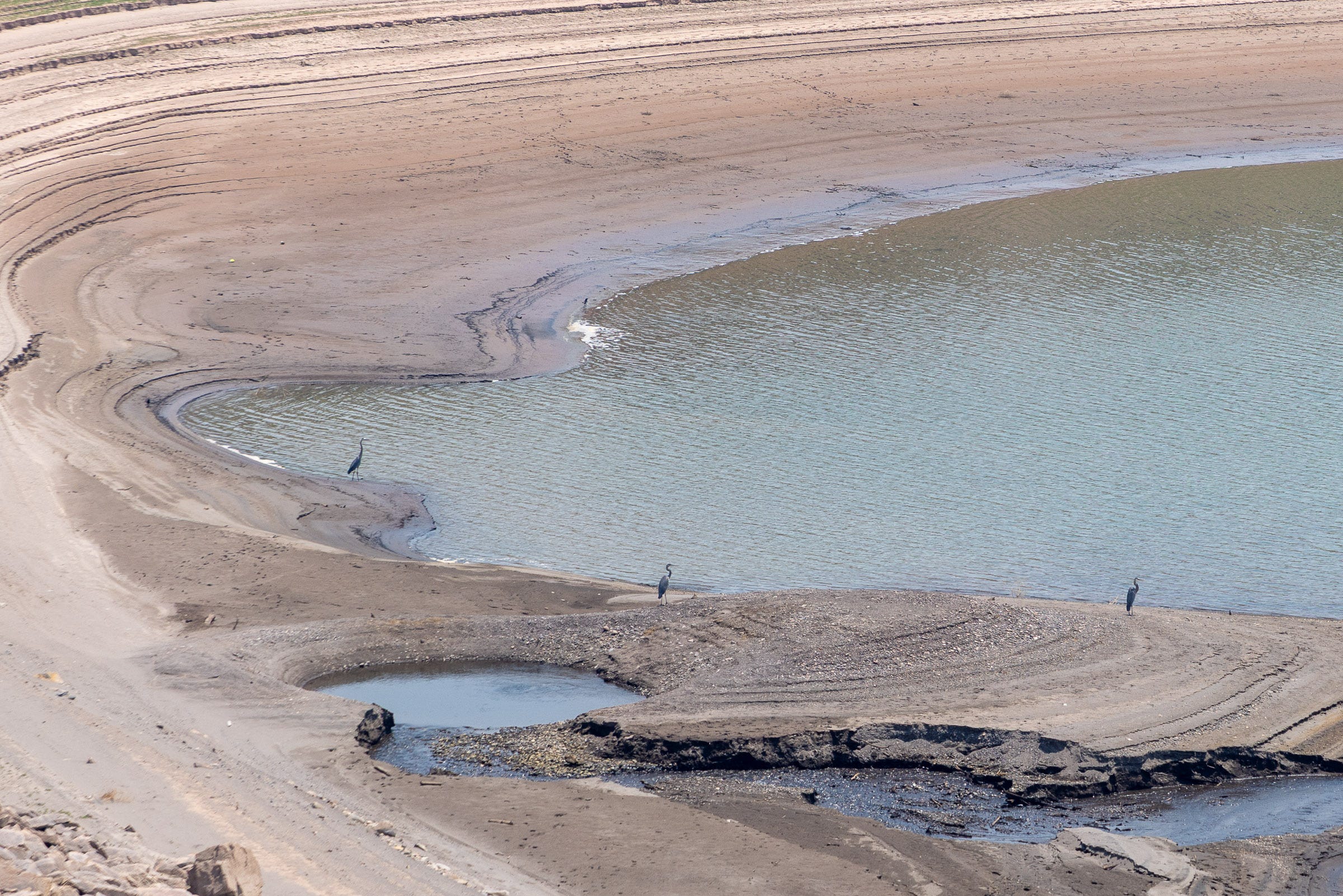
So much attention is focused downstream on Lake Powell and Lake Mead, which is understandable: they’re the nation’s largest reservoirs by capacity and they hold the bulk of the basin’s storage. But today, bathtub rings also line reservoirs along the Colorado River’s tributaries.
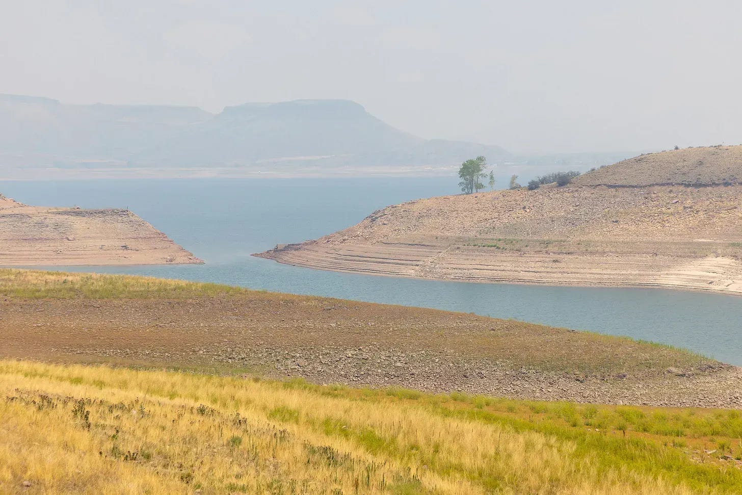
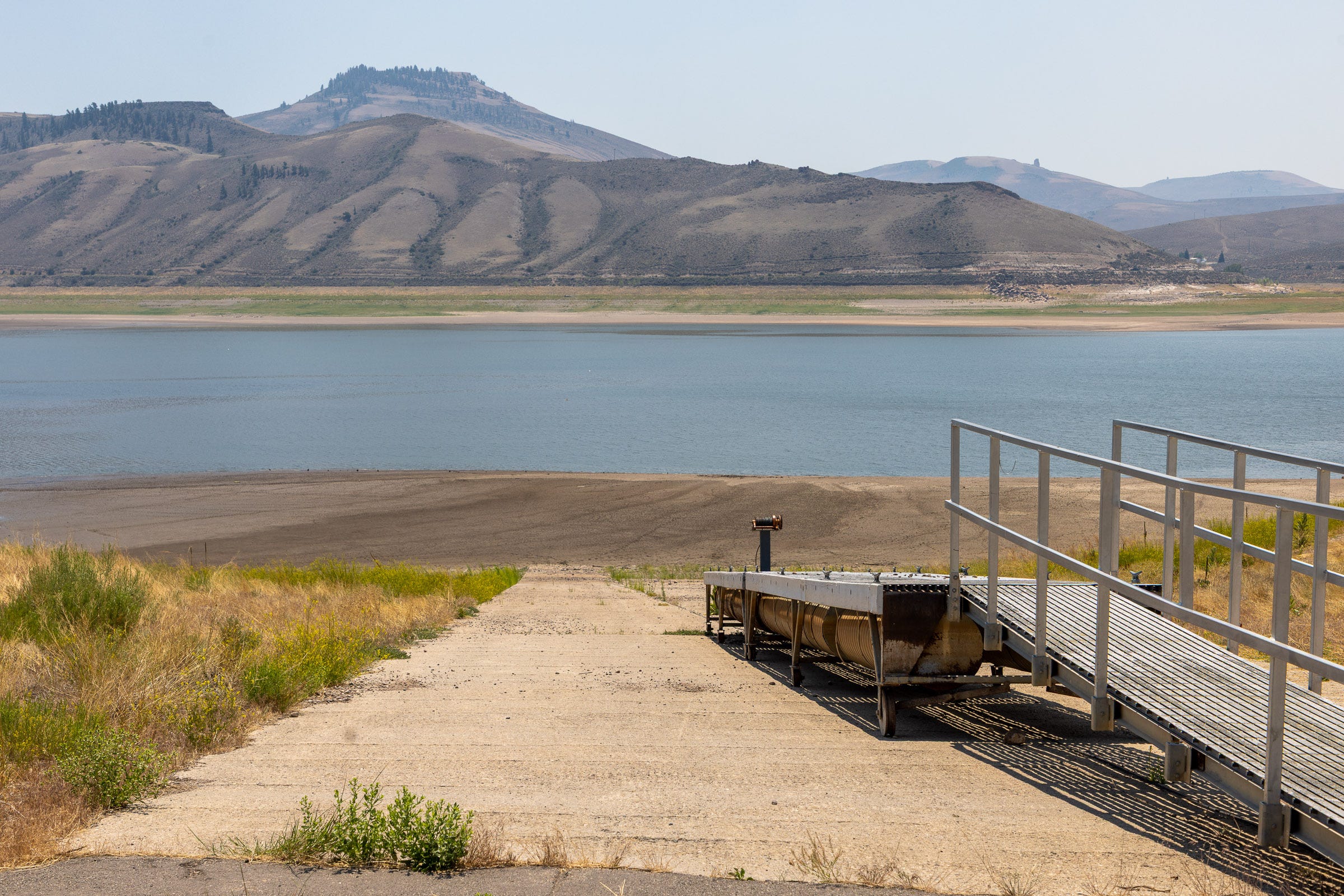
At Lake Powell, many boat ramps in Glen Canyon National Recreation Area are closed because they no longer reach the reservoir. Low water levels have also limited boating access at Blue Mesa, part of Curecanti National Recreation Area. It’s yet another reminder of how a meager snowpack can constrain outdoor recreation in summer.
The final stretch of my journey included a return visit to the Gold Mountain Fire. As feared, the blaze had grown dramatically over the previous 72 hours, to about 15,000 acres. As of July 15, the fire was 37,259 acres, 12% contained, and still shrouding the region in smoke.
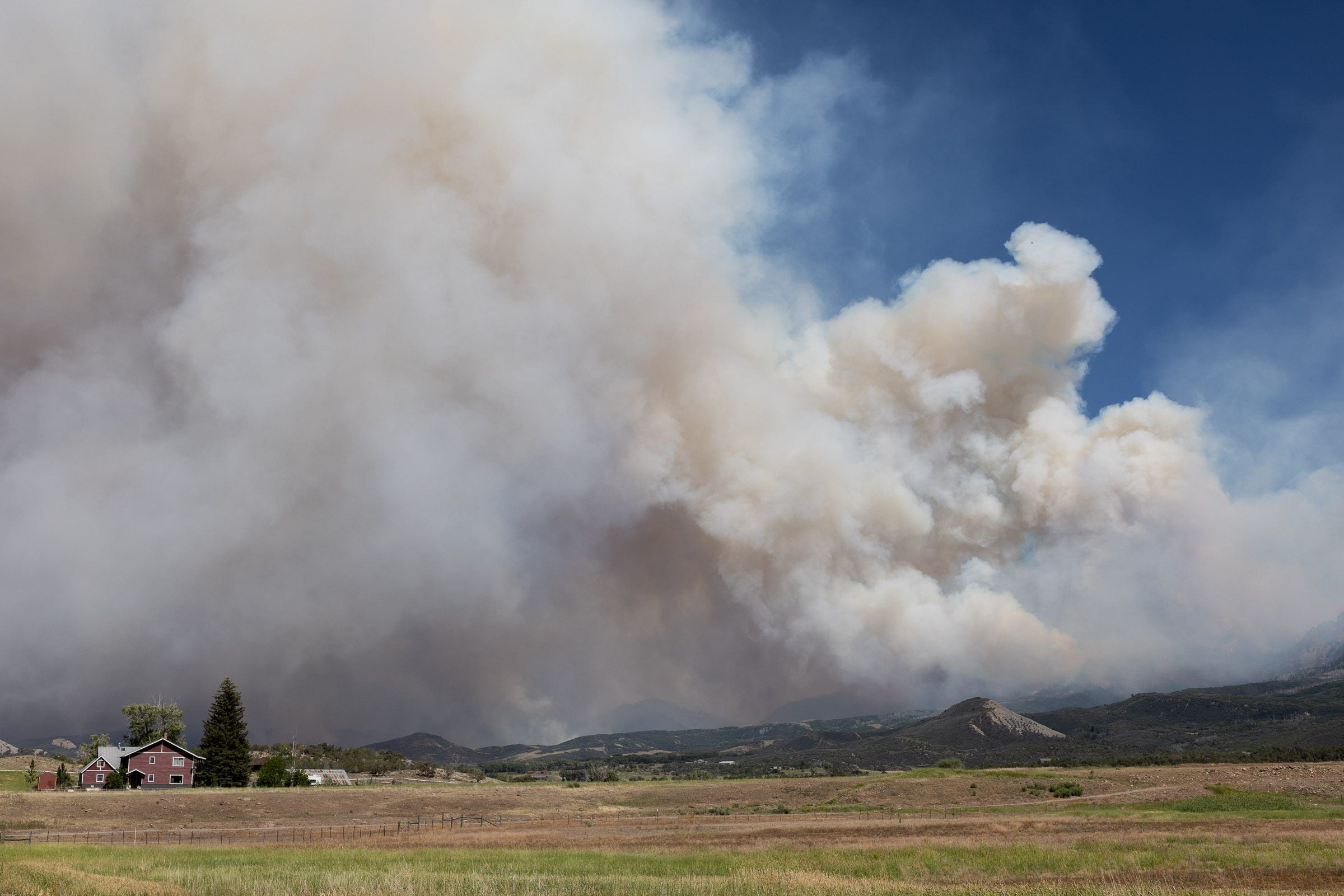
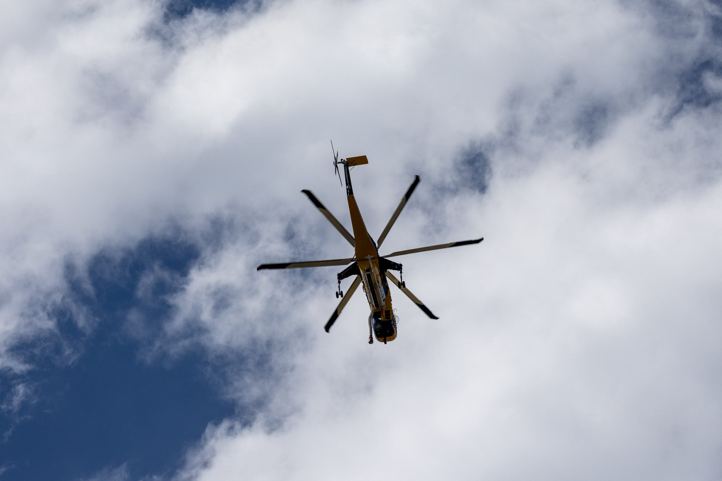
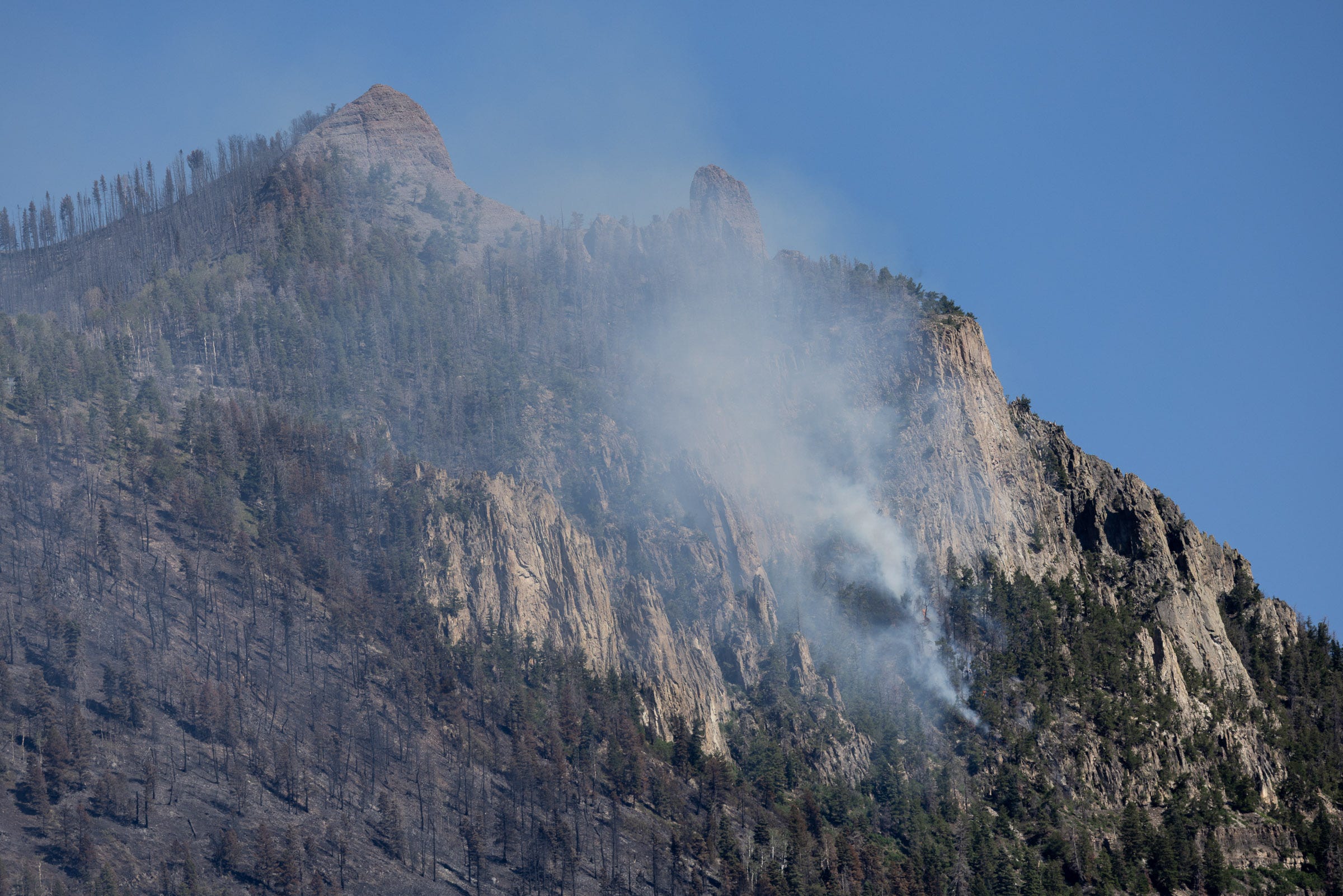
Approaching Ouray, I could see areas of intense burning generating a puffy pyrocumulus cloud that towered into the atmosphere. Darkened, smoldering slopes showed where the flames had already swept through. The scar would probably be visible for the rest of my days.
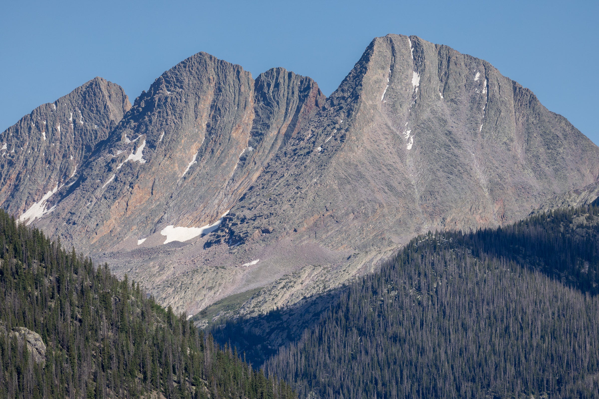
The drive from Ouray to Durango on U.S. 550 is one of the most stunning in the American West and crosses three high passes in the San Juan Mountains. It can be sketchy in winter, but I count my lucky stars every time I travel the route, grateful to live so close to such beauty. I was now upwind of the Gold Mountain Fire, so the sky was clear and the late-day sunlight cast the peaks in high relief.
On this road trip, I’d encountered plenty of evidence of the lasting distress caused by the snow drought, yet it was reassuring to see these seemingly unscathed peaks standing clear of the smoke and still holding a bit of snow. In a few months, autumn storms might begin to coat the terrain in fresh snow, renewing the annual cycle. But even these timeless mountains—some exposing rock more than 1.5 billion years old—felt vulnerable in a rapidly changing world.
There’s a neat FB group where the last remaining winter snow patches in the Scottish mountains are reported. Occasionally patches still survive the full year. Ian Cameron has a really interesting book on chasing and documenting these pockets of snow.
https://www.ukclimbing.com/articles/features/seeking_the_sphinx_-_scotlands_vanishing_snow_patches-14013