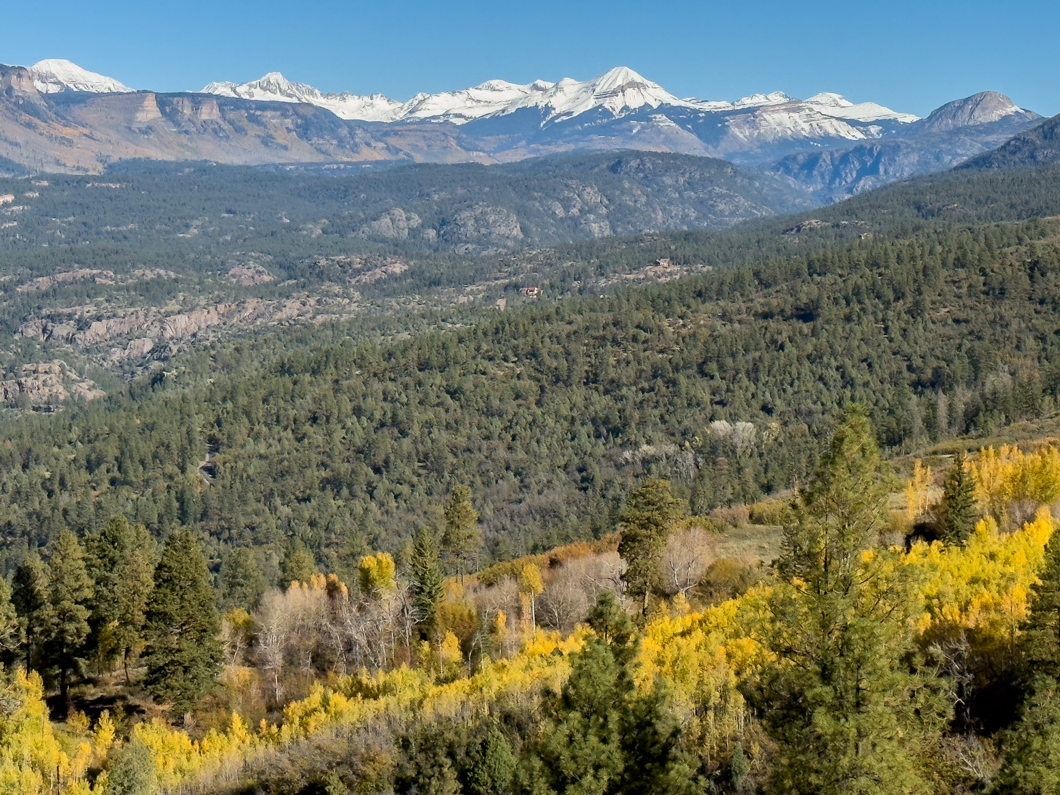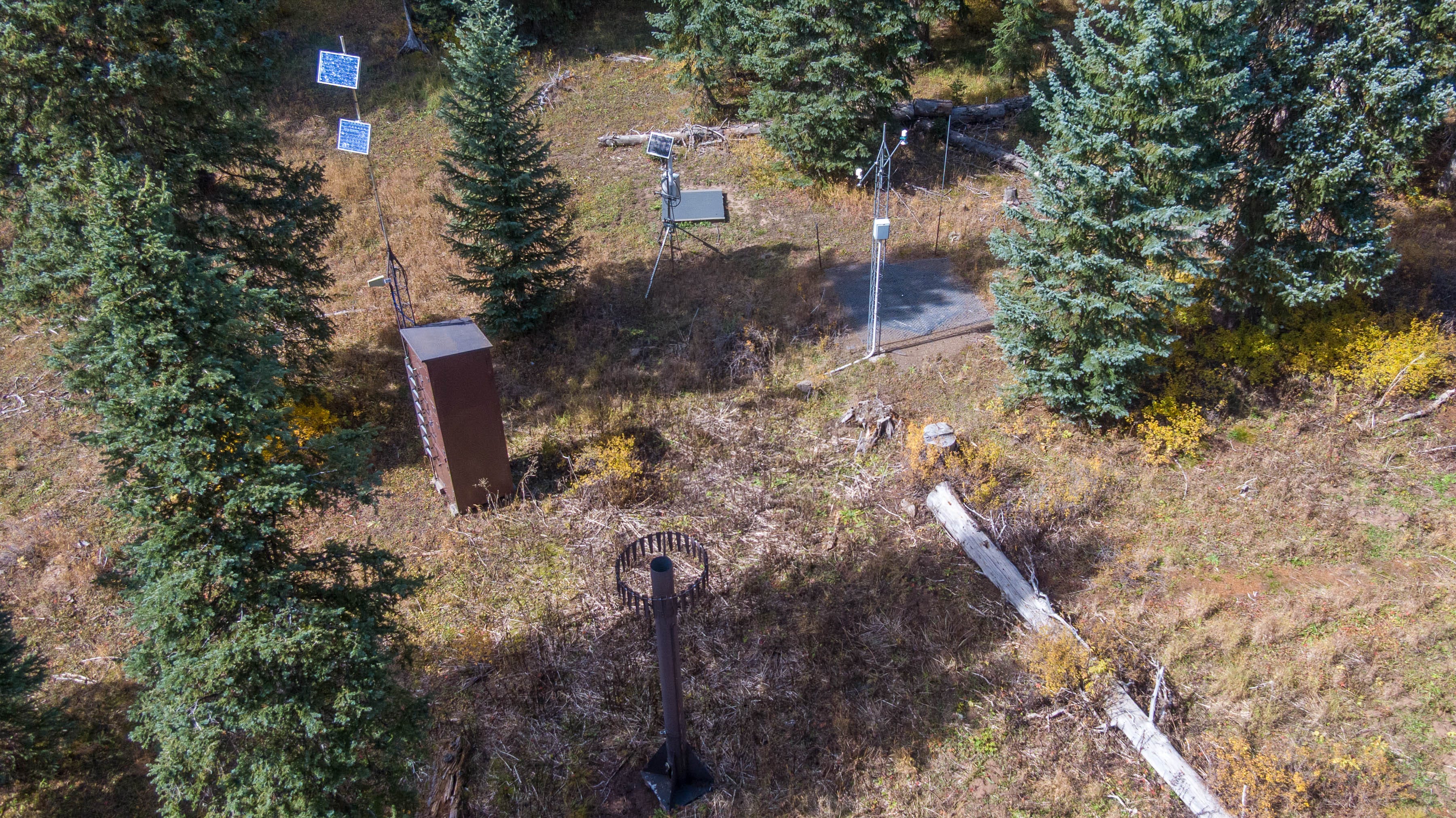
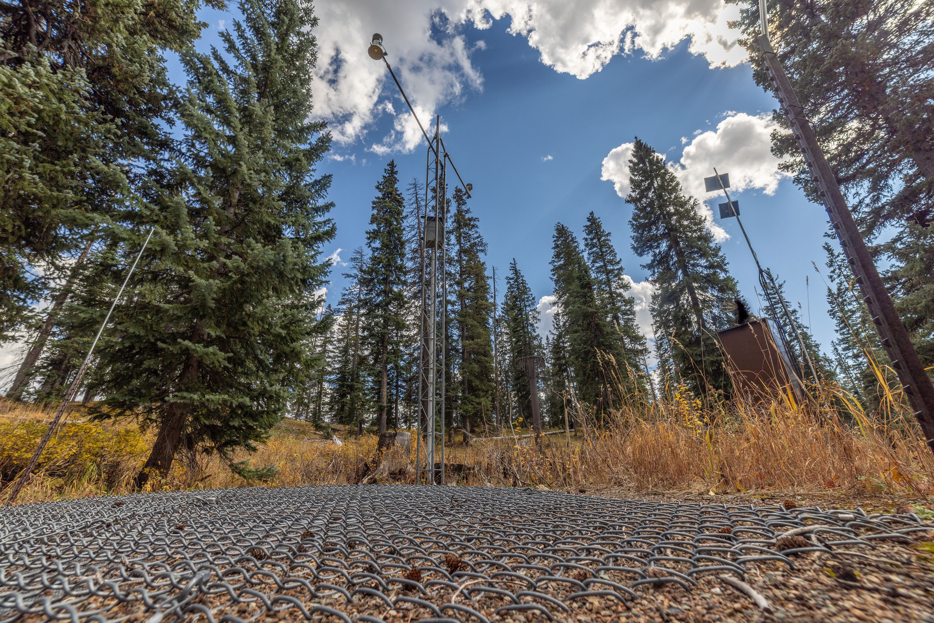
Shortly before this season’s first significant snowfall, I found myself sprawled on my belly on the forest floor atop Colorado’s Coal Bank Pass, lying next to a “snow pillow.”
I wasn’t preparing to snuggle with the pillow. I was trying to capture a wide-angle, ground-level photo of this critical but underappreciated scientific instrument.
Beside me, in an area about 10 feet across, was a buried bladder filled with an antifreeze solution and covered by a protective chain-link mesh. As the snow piles up, the pillow measures the increasing pressure exerted by the accumulating snowpack to calculate its snow water equivalent (SWE), which is the depth of water you’d get by melting the snowpack.
SWE is a closely watched metric for forecasting the West’s water supply. During last season’s historic snow drought, plenty of snow pillows reported record-low SWE readings.
I’d come to this subalpine forest at about 10,660 feet on a snow nerd pilgrimage to see one of the SNOTEL (snow telemetry) sites that serve as the backbone for monitoring the region’s vital snowpack.
I also wanted to photograph these installations for The Water Desk’s free multimedia library, which offers images and videos of important water-related locations in the West.
SNOTEL stations are certainly key spots for understanding the region’s water resources. They’re used to gauge the current status of the snowpack, make high-stakes forecasts about streamflows, and study long-term trends in an era of profound shifts in the cryosphere.
Scientists and water managers also use other tools to monitor the snowpack, including planes, satellites, drones, and periodic manual measurements in snow courses, some of which have been surveyed by hand for more than a century (see my story below for more on the pros and cons of the various approaches).

But the SNOTEL network of automated instruments, now numbering 919 stations, remains a gold mine for long-term data on the snowpack, temperature, precipitation, and other conditions.
Besides visiting the Spud Mountain station on Coal Bank Pass, I also checked out the Molas Lake site, about a 15-minute drive farther into the San Juans on U.S. 550. Both stations have been reporting data since 1985.
A variety of online maps will point you to individual stations, but when I reached the top of Red Mountain Pass, where I thought I’d find another SNOTEL site, I wandered around but couldn’t find the equipment. Maybe it was due to the lack of oxygen reaching my brain.
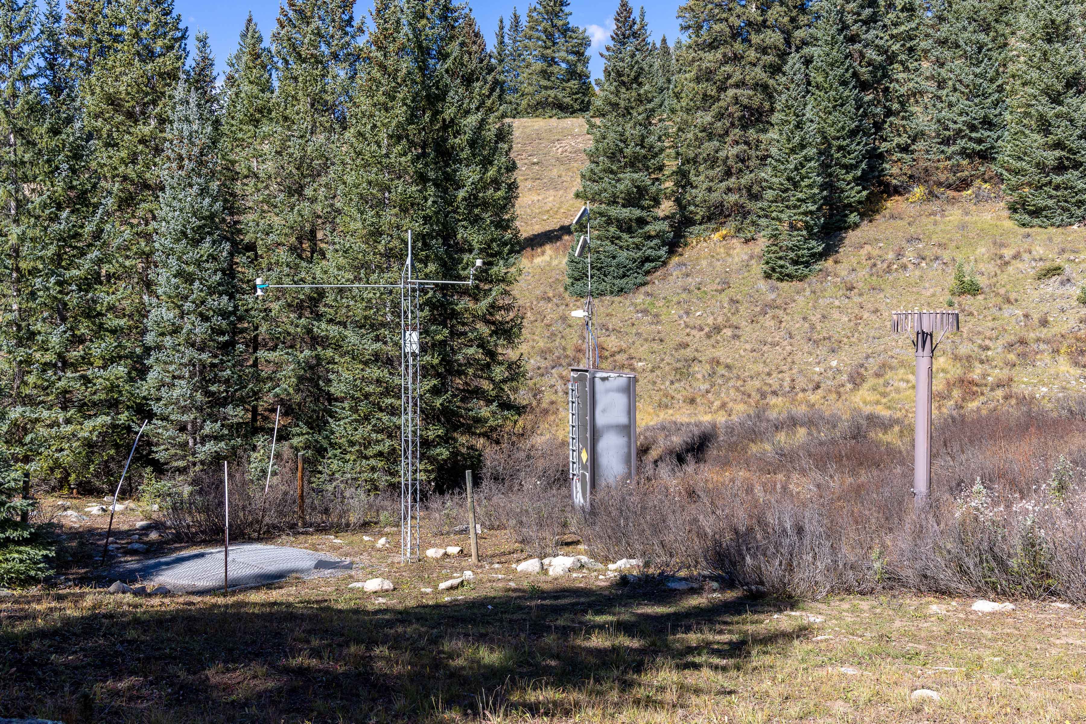
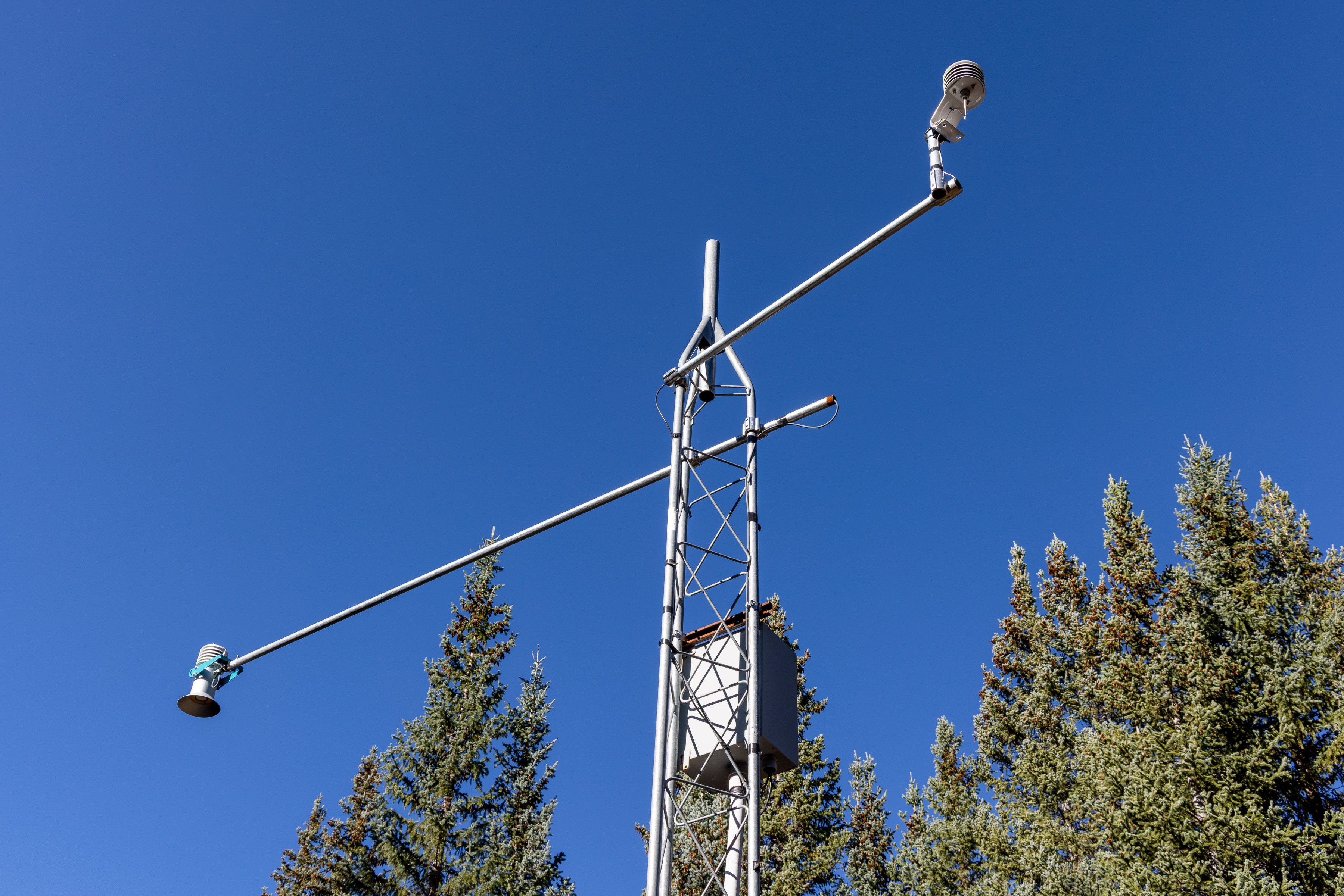
At both the Spud Mountain and Molas Lake sites, a metal tower rose above the snow pillow and held a device that beams ultrasonic waves downward and measures their return time to calculate the snow depth. An air temperature sensor was also connected to the tower.
The photos below show precipitation gauges ringed by metal slats that form an Alter shield. This device, described in a 1937 paper by its namesake, helps prevent the wind from blowing snowflakes and raindrops away from the gauge’s opening—called the orifice. But the underestimation of precipitation, known as undercatch, can still be significant even with the shields, and especially in a windy snowstorm. These gauges aren’t the gospel.


Many snow scientists and water managers have told me that SNOTEL stations produce invaluable data, but they’ve also highlighted the inherent limitations of a point measurement. If you walk, ski, or snowshoe a short distance away from the snow pillow, the snow’s depth and SWE may differ greatly because of effects like wind, shade, and the forest canopy. That said, both SNOTEL stations I visited report hourly data, so they’re super helpful for tracking changes over time—at that specific spot.
Today, SNOTEL sites use cellular and satellite communications to transmit their data. But originally, the stations relied on “meteor burst” technology, which bounces radio signals off the short-lived trails of ionized gas left behind by meteors burning up in the atmosphere.
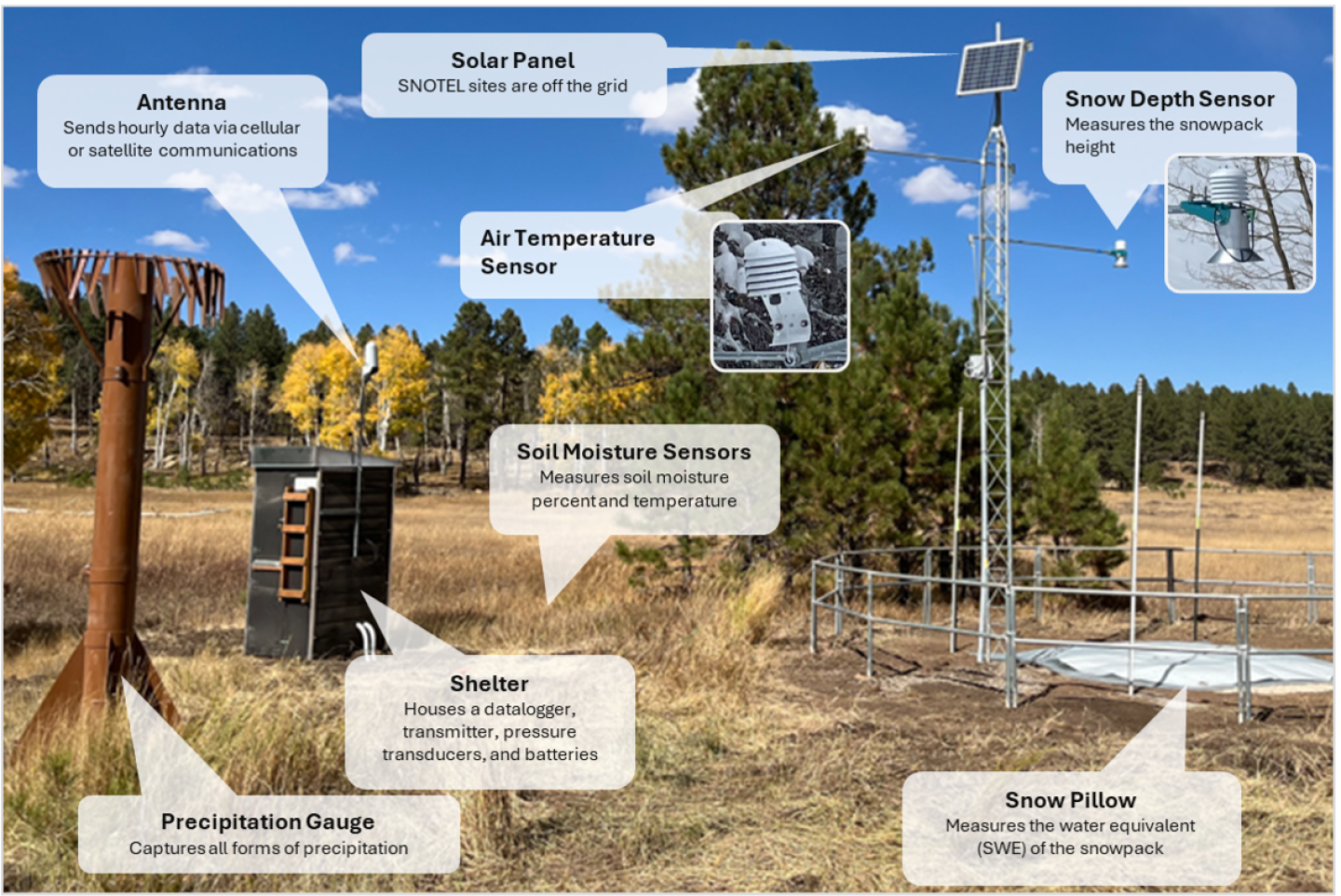
The graphic below from the Natural Resources Conservation Service illustrates the components found in a typical SNOTEL station.
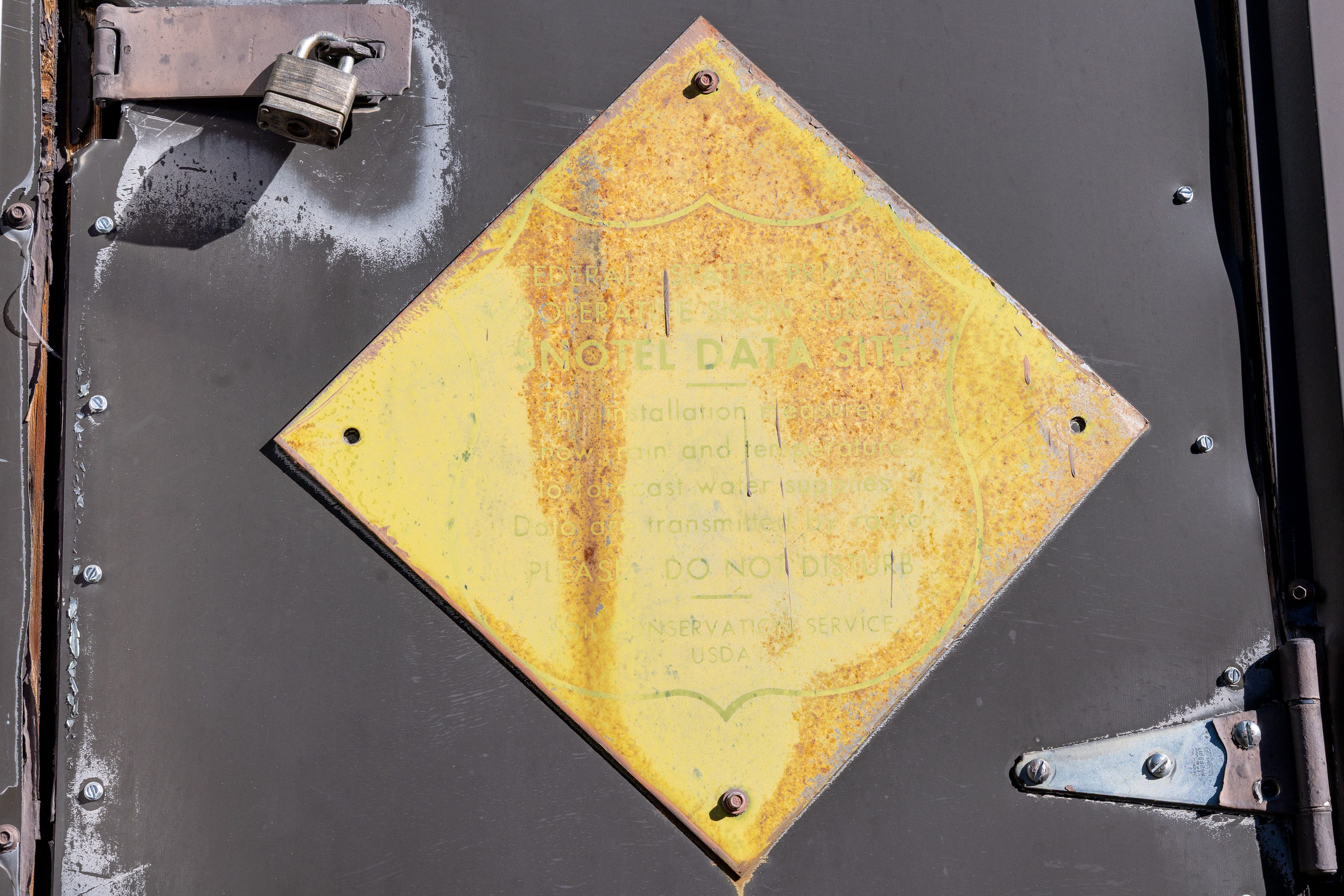
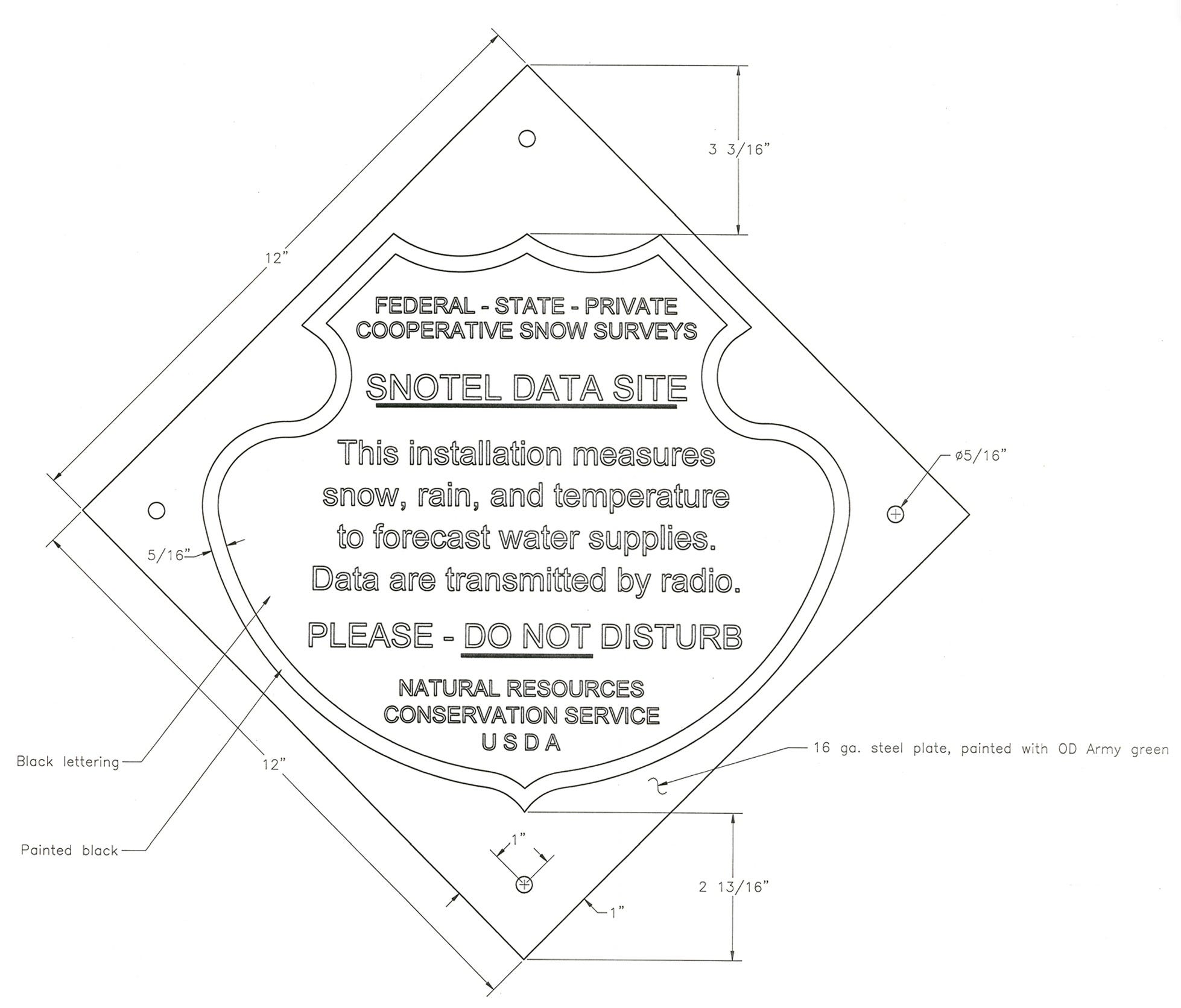
At the Molas Lake site, I found a rusting placard, weathered by the very forces it was meant to observe. Deep within a federal PDF, I located the sign’s original text and specifications.
In an age of robotic factories and hyperscale data centers, the SNOTEL sites didn’t strike me as particularly high-tech. But even these modest installations must be built and serviced, so access considerations have shaped where they’re located, as has avalanche danger in the winter high country. Federal wilderness protections and other land-use restrictions can also constrain where stations are installed.
SNOTEL stations are missing from important locations and elevations, but for all their limitations, they remain essential to understanding the changing snowpack and the water it supplies to rivers, people, agriculture, hydropower, and ecosystems.